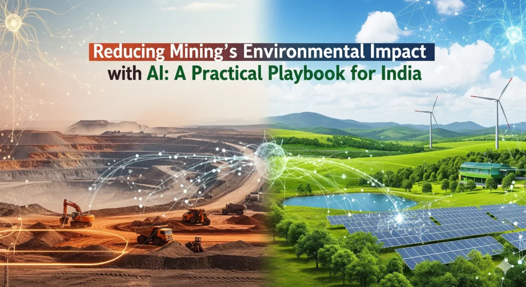
Introduction
Mining powers steel, cement, energy, and infrastructure—yet it also sits at the nexus of deforestation, air and water pollution, biodiversity loss, and social disruption. In India’s mineral belts (Jharkhand, Odisha, Chhattisgarh, Karnataka, Goa), mines often overlap with rich forestscapes and wildlife corridors. Documented impacts range from large-scale forest loss and chronic dust to coal fires and tailings risks. The good news: a modern stack of sensing + AI analytics + automated controls is now capable of cutting exceedances and risks while reducing OPEX and compliance pain.
Background and Policy Context
- Geography of risk: Iron ore, bauxite, manganese, coal and limestone belts coincide with high-rainfall, high-biodiversity regions, amplifying downstream impacts on farms, reservoirs, and villages.
Technolgical Solutions for Envi… - Illustrative hotspots:
- Bellary (Karnataka): rapid forest cover loss and dust-driven crop impacts.
- Jharia (Jharkhand): underground coal fires and land subsidence.
- Goa (Salaulim catchment): reservoir siltation and Fe/Mn spikes, particularly during monsoons.
- Niyamgiri (Odisha): hydrology-critical forests and cultural landscapes at risk.
Technolgical Solutions for Envi…
- Bellary (Karnataka): rapid forest cover loss and dust-driven crop impacts.
- Compliance reality: Traditional “after-the-fact” monitoring struggles against India’s monsoon dynamics, haul-road dust, and legacy fire/void problems. AI lets operators move from reactive to predict-and-prevent.
Where AI Helps (End-to-End Mine Lifecycle)
AI for Land Screening & Permitting
- What it is: GIS overlays of leases with habitat, corridor, and hydrology layers; drone/LiDAR inventories; computer-vision for near-real-time clearing audits.
- Why it matters: Avoids sensitive alignments and unpermitted felling; builds an auditable trail from day zero.
Dust, Noise & Blast Optimization
- Sensing + forecasts: Meshes of low-cost PM sensors and anemometers feed ML models that forecast dust plumes and auto-trigger fog cannons.
- Blast design AI: Minimize explosives mass and peak particle velocity/air overpressure while meeting fragmentation targets; auto-select meteorological windows.
- Impact: Fewer exceedances, reduced community complaints, better fuel and water use.
Underground Safety & Coal-Fire Intelligence
- Thermal-drone mapping to detect hidden fire fronts; gas/temperature/seismic data fused for spread prediction; ventilation-on-demand with smart fans; model-driven inert-gas dosing.
- Impact: Lower subsidence and emission risk; targeted remediation budgets.
Smart Haulage & Road Ecology
- Fleet AI: Dynamic dispatch, anti-idling alerts, speed control, and near-real-time dust scoring at the truck level.
- Wildlife safety: Camera analytics trigger driver warnings and automatic slowdowns in high-risk windows.
- Impact: Cleaner air along corridors; fewer wildlife strikes; lower diesel burn.
Dump, Slope & Leachate Stability
- Change detection with drone/LiDAR; continuous piezometer and inclinometer feeds; anomaly detection models for early movement; eco-restoration sequencers (species mix, spacing, seasons).
- Impact: Prevention over repair; greener, more stable landforms.
Tailings & Water Quality Intelligence
- Tailings-dam health models fusing pore pressure, rainfall, and deformation; spectral drone analytics for seepage; ML-tuned chemical dosing; storm-overflow forecasting with pre-emptive drawdown.
- Impact: Reduced breach and toxicity risk, especially during monsoon pulses.
Dewatering & Aquifer Protection
- Predictive drawdown modeling tied to automated pump controls; AI-optimized siting and scheduling of recharge structures to keep sentinel wells within “safe” heads.
- Impact: Protects springs and baseflows; lowers conflict risk with surrounding communities.
Corridor-Safe Alignments & Wildlife Detection
- Corridor suitability modeling for access roads/conveyors; thermal and camera systems that detect fauna crossings and trigger dynamic speed restrictions or timed closures.
- Impact: Maintains connectivity in elephant and carnivore landscapes.
Process Control & Red-Mud Management
- Advanced process control in flotation/leach circuits to cut reagent use; predictive maintenance on pumps/valves; XRF/HSV scanning to recover minerals from tailings and shrink long-term footprint.
- Impact: Smaller chemical and waste signature; better uptime.
Closure, Monitoring & Public Dashboards
- Long-horizon satellite + in-ground sensors for vegetation, water, and subsidence; public transparency dashboards for dust, water quality, and revegetation; predictive alerts.
- Impact: Trust by design; measurable post-closure performance.
KPIs that matter (report quarterly; audit independently)
- Air: 95th-percentile PM₁₀/PM₂.₅ near haul roads; blast-fume events; blast-window compliance rate.
- Water: Turbidity and dissolved Fe/Mn at catchment outlet; groundwater heads at sentinel wells.
- Biodiversity: Over/underpass crossing counts; carcass incidence; invasive cover (%) on rehab sites.
- Land stability: Dump pore pressure and displacement rates; vegetation survival and canopy cover.
- Social outcomes: Household water-access time; crop-yield indices in dust-affected villages; respiratory clinic caseloads.
Tie a share of management incentives to KPI deltas to sustain improvement.
Data architecture & oversight:
- Open, timestamped sensor streams (air/water/structure) → edge QA → cloud lakehouse → analytics & alerts → regulator/ESG dashboards (read-only).
- API hooks for State PCBs, IBM, Forest & Wildlife divisions, and district administrations.
Conclusion
India can move mining from monitor-and-fix to predict-and-prevent. The combination of dense sensing, AI forecasting, and automatic controls implemented with transparent KPIs and independent audits can rapidly cut exceedances in air and water, stabilize landforms, protect corridors, and lower social conflict, all while trimming fuel, water, and maintenance costs. The roadmap above is not futuristic, it’s a stepwise deployment that many Indian sites can begin this quarter and mature over three years.